Search
26 Mar 2026
Search
26 Mar 2026
Please allow ads as they help fund our trusted local news content.
Kindly add us to your ad blocker whitelist.
If you want further access to Ireland's best local journalism, consider contributing and/or subscribing to our free daily Newsletter .
Support our mission and join our community now.
To continue reading this article, you can subscribe for as little as €0.50 per week which will also give you access to all of our premium content and archived articles!
Alternatively, you can pay €0.50 per article, capped at €1 per day.
Thank you for supporting Ireland's best local journalism!

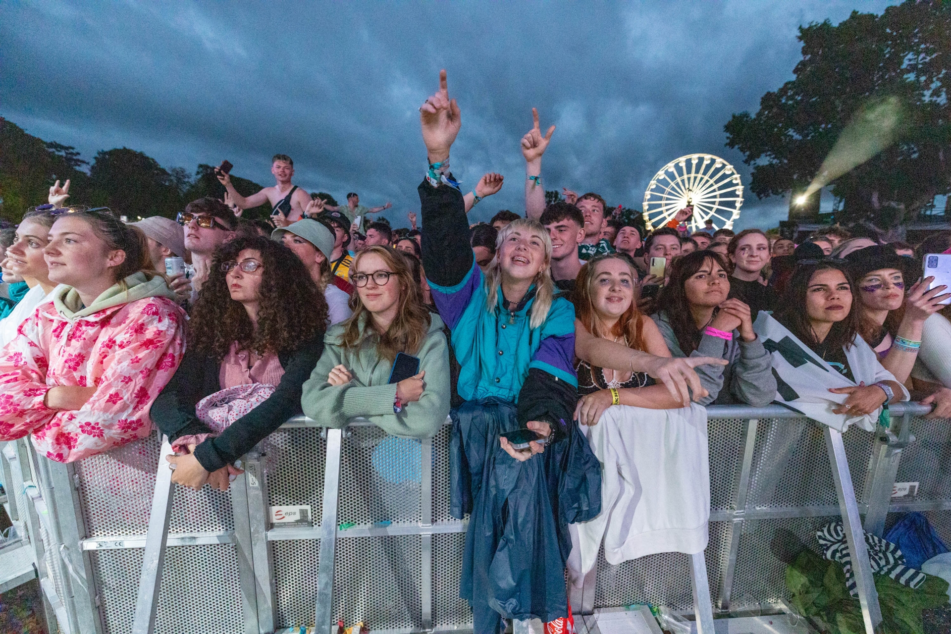
Rain didn't dampen the fun for these Electric Picnic fans from Laois in 2022. Pic: Alf Havey

Wet weather clothing will come in handy at Electric Picnic in Laois, according to a special festival weather forecast from Met Éireann as the big event dawns in Stradbally.
As thousands descend on Laois, Met Éireann Meteorologist Ailís Hankinson had some valuable weather advice for picnicers planning to party in Stradbally from August 29 to 31.
"For those heading along to the Electric Picnic in Stradbally this weekend, the ponchos and wellies could certainly come in handy as you can expect some rain and gusty showers for much of the country over the next few days," she said.
In her forecast posted on X on Thursday, she forecasted there should be just a few showers on Friday by the time the first act takes to the Main Stage at 6pm in Stradbally.
She said Saturday morning would "wet and windy" but there would be a clearance in the afternoon, albeit staying windy. Sunday features more scattered showers mixed with sunny spells. FULL WEEKEND FORECAST BELOW MET Éireann VIDEO.
If you're one of the thousands heading along to @electricpicnic in #Stradbally this weekend, make sure to check out the latest forecast from #Meteorologist Ailís Hankinson. #ElectricPicnic #EP2025 #EPFestival pic.twitter.com/ASmC4jI8WS
— Met Éireann (@MetEireann) August 28, 2025
National Forecast from Met Éireann
FRIDAY: A mix of scattered showers and sunny spells tomorrow. The showers will be most frequent in the northwest and west but will become more isolated through the day. The best of the sunny spells will be in the east and southeast. Highest temperatures of 15 to 20 degrees in light to moderate westerly winds.
Friday night will be clear and dry for most with just isolated showers. Rain will move into southern and western counties overnight. Lowest temperatures of 10 to 13 degrees in moderate southerly breezes.
Saturday: A rather wet and windy start to Saturday as that band of rain continues to spread across the country. Heavy downpours are most likely in the south, west, and northwest with the possibility of spot flooding. Throughout the afternoon, scattered showers will develop as that rain clears with brighter spells developing by the evening. Highest temperatures of 15 to 19 degrees in moderate to fresh southerly winds, gusty at times on Atlantic coasts.
READ ALSO: HSE to test illegal drugs at PICNIC
Sunday: Sunny spells and scattered showers will move across the country throughout the day, turning heavy at times over parts of Ulster and Connacht. Highest temperatures of 15 to 18 degrees in moderate to fresh southwesterly winds, gusty at times near coasts. MORE BELOW PICTURE.
Further outlook: While there is uncertainty in the exact detail, early next week is looking to remain unsettled with further spells of rain and showers. Monday and Tuesday will both see a mix of sunny spells and scattered showers, the most frequent and heaviest of those showers staying to west Atlantic coasts. Daytime temperatures will be similar to late ranging in the mid to high teens.

Subscribe or register today to discover more from DonegalLive.ie
Buy the e-paper of the Donegal Democrat, Donegal People's Press, Donegal Post and Inish Times here for instant access to Donegal's premier news titles.
Keep up with the latest news from Donegal with our daily newsletter featuring the most important stories of the day delivered to your inbox every evening at 5pm.
This publication supports the work of the Press Council of Ireland and Office of the Press Ombudsman, and our staff operate within the Code of Practice of the Press Council. You can obtain a copy of the Code, or contact the Council, at www.presscouncil.ie, Lo-call 1800 208 080 or email: info@presscouncil.ie.


