

Hurricane Lorenzo spectacular satellite photos reveal the scale of storm

By Conor Ganly
Published 1st Oct 2019, 18:30 GMT
Updated 1st Oct 2019, 21:12 GMT
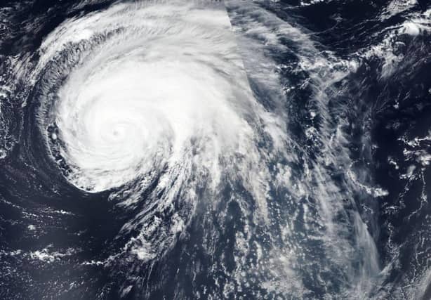

Satellite pictures of Hurricane Lorenzo taken by NASA and other agencies are helping Met Éireann and other weather forecasters track and measure its impact.
NASA says visible imagery from its satellites helps forecasters understand if a storm is organizing or weakening. It says the shape of a tropical cyclone provides forecasters with an idea of its organization and strength. The more circular a storm appears, the stronger it can be.
A NASA blog on Lorenzo said it is a very large tropical cyclone. It said the National Hurricane Center noted that hurricane-force winds extend outward up to 90 miles (150 km) from the centre and tropical storm-force winds extend outward up to 345 miles (555 km).