

Short, sharp, shock of winter weather Met Éireann forecasts tumbling temperatures
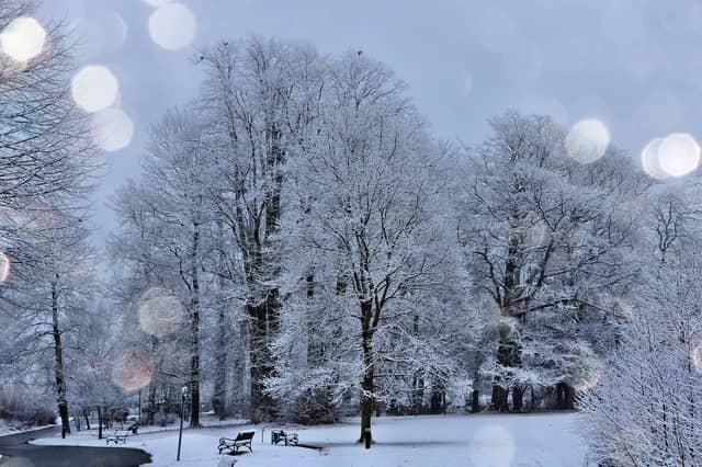

Met Éireann is forecasting a short sharp blast of winter weather that includes frost, hail and event thunderstorms.
In its latest weather prediction, Met Éireann expects it to turn colder from Tuesday evening, with the risk of night-time frosts returning.
It will be a shock to the system as temperatures will tumble by more than 14 degrees to below zero in just over 24 hours.
The weather is set to turn from Tuesday night into Wednesday morning with Met Eireann. Roads look set to be lethal on Tuesday night with freezing temperatures and rain forecast.
The cold snap is set to stay into the weekend with maximum temperatures around 7 to 9 degrees during the day with frosty nights. MORE BELOW TWEET.
National Forecast Issued at 4.45 PM on February 20.
Tuesday: Some brief sunny spells tomorrow, Tuesday, but generally cloudy again with occasional drizzle. More persistent rain will develop in the west during the afternoon, and this rain will track eastwards over the country through the evening and early nighttime hours. Highest temperatures of 9 to 12 degrees in moderate to fresh south to southwest winds, veering northwesterly as the rain clears.
Wet and breezy early on Tuesday night with outbreaks of rain clearing eastwards over the country, giving way to cooler fresher conditions from the west, with clear spells and scattered showers. The showers will become frequent in western areas towards dawn, turning heavy with hail and a risk of isolated thunderstorms. Temperatures will fall to between 0 and 4 degrees after the rain clears with the potential for some frost and icy patches in sheltered spots. Winds will veer light to moderate west to northwest with the passage of the rain.
Wednesday: Wednesday will be a noticeably colder day with sunshine and widespread blustery showers. Some of the showers will be heavy with hail and a risk of isolated thunderstorms, and a few may turn wintry over hills and mountains, especially towards evening. Afternoon temperatures will range 6 to 9 degrees but it will feel colder in the brisk northwest wind. The showers will become increasingly confined to western and northwestern coasts on Wednesday night and much of the country will be dry, clear and cold. Lowest temperatures of -1 to +3 degrees with frost and icy patches forming. Northwest winds will continue moderate to fresh near some coasts but will fall mainly light inland.
Thursday: Many areas dry with some sunshine to begin on Thursday, but cloud will tend to increase from the northwest during the morning bringing patchy outbreaks of rain and drizzle. Afternoon temperatures will range 7 to 9 degrees with light to moderate northwest breezes. Scattered outbreaks of rain and drizzle look likely to feed down from the north on Thursday night. Lows of 3 to 7 degrees in a freshening northwest wind, increasing strong on exposed coasts.
Friday: Current indications for Friday suggest a breezy day with sunny spells and scattered showers. Highs of 8 to 11 degrees but feeling cooler in moderate to fresh north to northwest winds.
Weekend: Although there is some uncertainty at this stage, high pressure looks set to dominate next weekend bringing broadly dry and settled conditions. Maximum temperatures around 7 to 9 degrees with frosty nights.