

Ireland braces for freezing temperatures and strong winds as nationwide warning issued
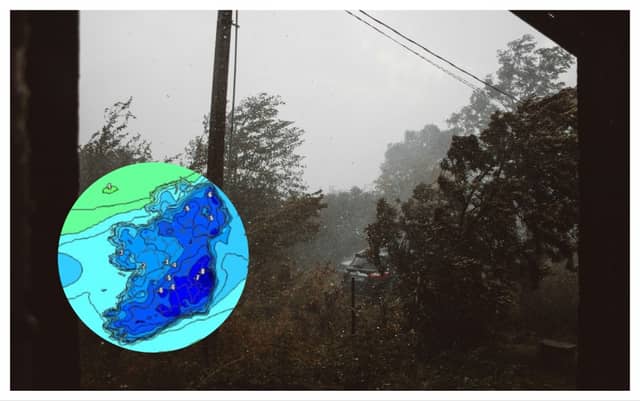

Snow and heavy rain is also expected in parts
Ireland is bracing itself for heavy rains, plunging temperatures and fierce winds as the entire country has been issued a Status Yellow Wind Warning.
The warning will come into effect from midnight tonight and will remain in place until 6pm on Thursday evening.
Strong and gusty southwesterly winds are expected to batter parts of the country with potential impacts including difficult travelling conditions, debris or loose objects displaced and some fallen branches or trees.
Carlow Weatherman Alan O'Reilly has also warned of freezing temperatures on Friday morning, saying "Windchill forecast for Friday morning is looking fresh. Best of luck to all those trying to conserve the heating oil".
Meanwhile Met Éireann has given their five day forecast warning of a mobile Atlantic regime that will bring rain or showers each day. Conditions will turn breezy and cool with some of the showers turning wintry at times. Isolated thunderstorms and spot flooding will also be possible in places.
Today
This afternoon will be bright with sunny spells and scattered showers, which will become more isolated through the afternoon. Cloud will build from the west towards evening. Highest temperatures of 8 to 11 degrees. Breezy with moderate to fresh west to southwest winds.
Tonight will start off dry in many areas with cloud increasing and winds strengthening. Rain will develop in the west and north-west by midnight and will spread eastwards to all areas overnight. Lowest temperatures of 5 to 9 degrees with south to southwest winds increasing fresh to strong and gusty.
Thursday
Thursday will be wet and windy with spells of rain and fresh to strong and gusty south to southwest winds. Rain will be heavy at times with spot flooding possible. It will slowly clear southeastwards through the afternoon and evening with showers following, some possibly of hail. Becoming colder as rain clears with afternoon temperatures of 4 to 8 degrees over much of the northern half of the country and reaching 8 to 11 degrees further south.
Cold with scattered blustery wintry showers on Thursday night, mainly affecting Atlantic counties. Some of the showers will be heavy with isolated thunderstorms. Some lying snow is possible across higher ground and parts of the northwest. Lowest temperatures of 0 to 4 degrees in fresh to strong and gusty southwesterly wind.
Friday
Rather cold and breezy with sunny spells and scattered showers. The showers will fall as sleet and possibly snow at times early on. Isolated thunderstorms and hail are also likely. Highest temperatures of just 5 to 8 degrees in fresh and gusty westerly winds, making for an added wind chill factor.
The showers will become largely confined to Atlantic coasts overnight. Lowest temperatures of 1 to 5 degrees in light to moderate southwest winds.
Saturday
Dry to start in the east with sunny spells but becoming cloudy as rain and drizzle spread from the west becoming widespread by the afternoon. Highest afternoon temperatures of 5 to 9 degrees in moderate southerly winds.
he rain will ease becoming lighter and patchier overnight. Some clear spells developing. Lowest temperatures of 5 to 8 degrees in moderate to fresh southwesterly winds.
Sunday
A cool and breezy day with sunny spells and blustery showers, some turning wintry in places with sleet or hail possible. Highest afternoon temperatures of 5 to 9 degrees in fresh to strong westerly winds.